
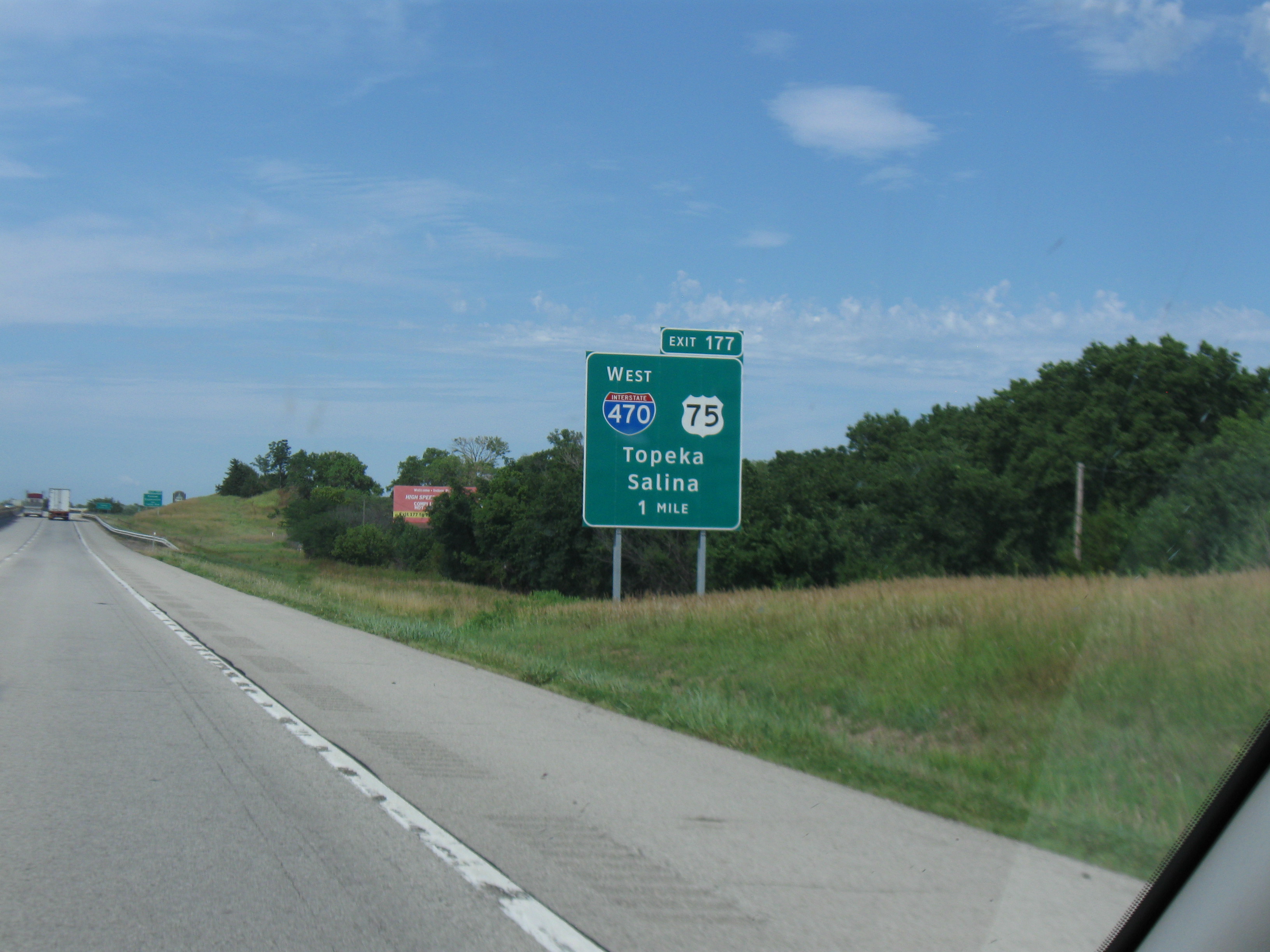
A cold front swept out of Kansas by Sunday, Nov. 22, leaving brisk north winds and a colder start to Thanksgiving week. For drivers crossing the state on I-70, the timing and location matter. A chance of light snow in far western Kansas Monday night into Tuesday comes ahead of a dry Thanksgiving forecast for Topeka and Lawrence.
By midday Sunday, the National Weather Service office in Wichita reported north wind gusts of 25 to 30 mph in its area. It expected overnight lows in the lower 20s Fahrenheit in central Kansas and the upper 20s in parts of southern Kansas.
The Goodland forecast office said models that showed snow put the main band between Kansas 25 and U.S. 385, along and south of I-70. Forecasters favored less than an inch of accumulation. That puts the chance of snow early in the week near the Colorado border.
Farther east, the Topeka office’s Sunday midday forecast called for mostly clear skies from Wednesday through Thursday night in Shawnee and Douglas counties. In both counties, highs were forecast in the mid-40s and lows in the lower 20s.
Before leaving, drivers can check KanDrive for current road conditions, detours and highway camera views. The Kansas Department of Transportation also provides road information by phone at 511 inside Kansas.
Cover photo by Scott Nazelrod, CC BY-SA 3.0. The cover may be cropped in previews.
